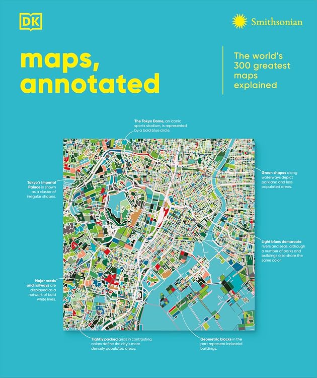
Maps, Annotated: The World's 300 Greatest Maps Explained
Maps, Annotated: The World's 300 Greatest Maps Explained is a chronologically organized illustrated history of cartography. The listing describes more than 300 maps, with annotations, historical context and explanations of features such as scales, symbols and time zones. This is the Kindle edition, with a listed print length of 474 pages.
At a glance
- Covers maps from the ancient world to the present day, arranged chronologically.
- The description names examples including Polynesian stick charts, medieval Mappa Mundi and ancient Chinese star maps.
- Each map is described as having historical context and explanatory details on cartographic elements.
Reference price: $79.00
Price checked: Nov 12, 2026
View offerAhead of Black FridayExplore the selectionPros and cons
Pros
- The chronological structure gives the subject a clear historical progression.
- The broad selection connects visual examples with explanations of map features and historical context.
- Kindle listing indicates screen-reader support and enhanced typesetting.
Technical specifications
11 specifications| Publisher | DK |
|---|---|
| Publication date | Oct. 21 2025 |
| Language | English |
| Print length | 474 pages |
| ISBN-13 | 979-8217136414 |
| File size | 564.2 MB |
|---|---|
| Screen Reader | Supported |
| Enhanced typesetting | Enabled |
| X-Ray | Enabled |
| Word Wise | Enabled |
| Page Flip | Enabled |
Who is it for?
A good fit for
- Readers interested in cartography, map history and historical geography.
- Readers who want an illustrated digital reference spanning maps from different eras and regions.
Less suited to
- Readers seeking a physical print edition or a guide focused on modern navigation rather than map history.
Customer reviews on Amazon
- 5 stars
80% 80% - 4 stars
0% 0% - 3 stars
10% 10% - 2 stars
0% 0% - 1 star
10% 10%
The listing shows an average rating of 4.4 out of 5 from 13 ratings. The aggregate is positive overall, but includes some 3-star and 1-star ratings as well, and does not explain individual readers' reasons. It may help indicate general reception, but cannot establish how well the maps reproduce on a particular Kindle screen.
Frequently asked questions
What does the book cover?
The listing describes a history of cartography featuring more than 300 maps from the ancient world to the present, with explanations and historical context.
How is the book organized?
It is described as chronological, with examples from different regions and eras.
Is this the Kindle edition?
The supplied details identify Kindle features including screen-reader support, enhanced typesetting, X-Ray, Word Wise and Page Flip.
Alternative options

The Fallacy Detective: Thirty-Eight Lessons on How to Recognize Bad Reasoning
$12.99

SYSTEMology: Create time, reduce errors and scale your profits with proven business systems
$2.99
Top 150 Geography Facts Fun Explained!: Discovering The Wonders Of Our World For Curious Minds
$7.99

Ran-Dumb Fun Facts & Interesting Stories to Make U Smile (Silly-Smart Brain Food)
$5.99

Chronicles of Quixotic: New Realms
$7.11

Critical Facilities Engineering: A Comprehensive Training Guide
$9.99

AUTISM: POTENTIAL TREATMENT CONSIDERATIONS
$12.99

You Are God, Revelation For Humanity
$9.99

The Scientific Revolution: An Enthralling Exploration of Discoveries That Changed the World Forever (Historical Periods)
$7.10